
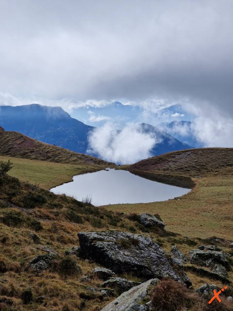
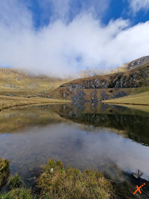


In the Carnic Alps, in the basin between Mt. Dimon and M. Paularo lies the small Dimon Lake, solitary and almost secluded in a very special landscape, created as a result of glaciation. The atmosphere is very atmospheric: daffodils and gentians bloom among the sandstones of Val Gardena, the air is fresh and fragrant, and the only noise is the whistling of the marmots that populate this area. The hike to the lake is not difficult, but the trail is quite long. Beautiful is getting there by mountain bike. There are no rest stops or any kind of services; nature, here, reigns supreme.
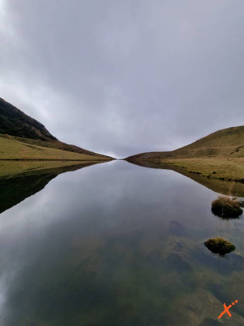
The formation of the lake followed a glaciation 15,000 years ago. Its appearance still hints with the imagination at the retreat of the ice sheet that created a surreal landscape.
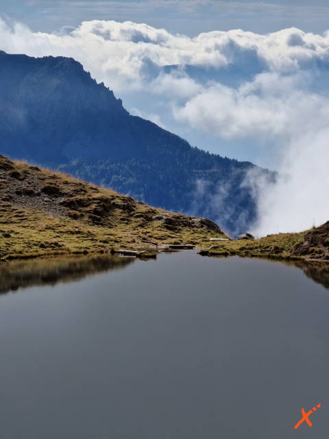
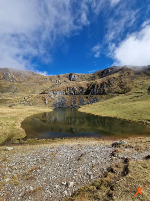
Dimon Lake suddenly appears, magnificent and motionless, among the clouds that bridge the peaks of M. Dimon and M. Paularo. The summit of the latter can be reached from the lake in about 30 min via trail 404.
The route, although long, does not present technical difficulties, especially when done via the cart track. The latter is also suitable for children trained in mountain walking.
From Ligosullo follow the signs to Valdajer Castle at an elevation of 1340 m. Park the car at the back of the castle and choose which route to take.
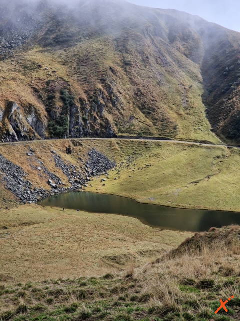
This route is suitable for everyone and can also be undertaken by mtb/e-bike or with snowshoes. From the castle, follow the left; after the first paved section, the cartroad climbs steadily until it reaches the lake in less than 2 hours. This road is also passable by car, but it is strongly discouraged because it is very narrow and so as not to disturb hikers.
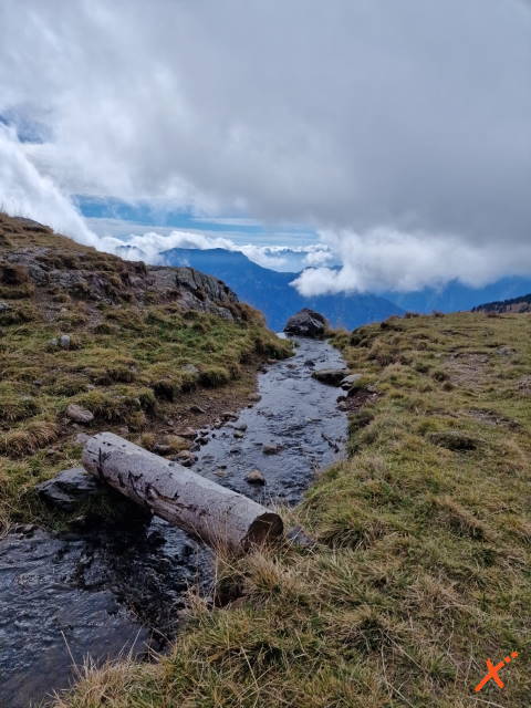
Those who arrive at the lake with a little more energy can return to the valley via trail 406, which is a little more challenging but more naturalistic.
This variant ascends in elevation via trail 404, then descends from 406. In contrast to the previous ones, from the castle you have to follow the right until you find marker 404. This route is very long, covering 15/16 km to complete the entire loop, and the elevation gain is about 700 m.
Discover Friuli Venezia Giulia
IN COLLABORATION WITH
Advertisement
Experiences to discover Friuli-Venezia Giulia
Discover Friuli Venezia Giulia by Vespa, bike, boat, or with guided hikes and tours: many different ways to experience the authentic beauty of this region up close.
IN COLLABORATION WITH
Experiences in Friuli Venezia Giulia
Advertisement
The contents of this page are protected from reproduction and copying with a digital certificate

